
Who we are
About Xcetera Aerial Solutions
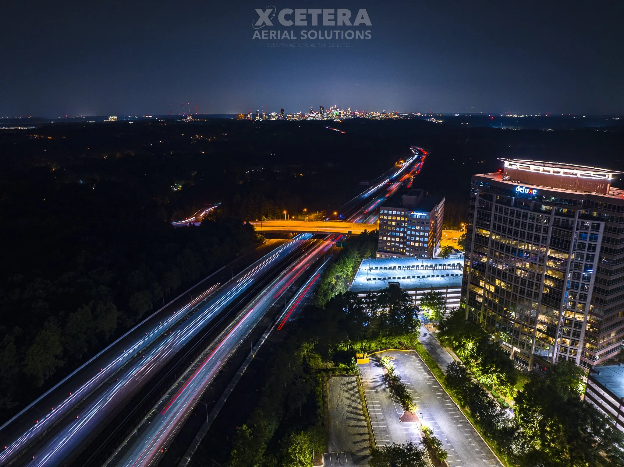
Xcetera Aerial Solutions delivers professional aerial photography, videography, and geospatial services that go beyond standard drone operations. We combine FAA Part 107–certified flight expertise with Ph.D.-level experience in Geographic Information Systems (GIS) to provide not only visually compelling aerial imagery, but also technically informed spatial insight for complex environments. Every project is approached with precision, adaptability, and reliability—ensuring results that are both visually impactful and analytically sound.
We specialize in tailored aerial solutions, integrating high-quality drone data collection with advanced spatial analysis principles. This approach allows us to deliver consistent, high-resolution documentation that supports informed decision-making, clear stakeholder communication, and long-term project success.
Email: xceteraaerial@gmail.com
Phone: (404)-518-0244
Atlanta, GA 30339


Contact us
Interested in working together? Fill out some info and we will be in touch shortly. We can’t wait to hear from you!